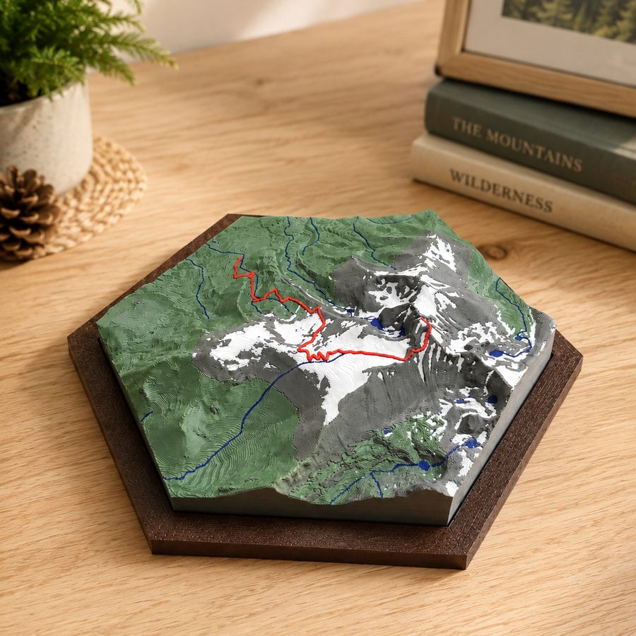
How it works
Six steps, about two minutes.
You pick the ground, you watch the mountain build, and you leave with a code. Nothing to install and nothing to sign up for.
Find your mountain
Type a name — Grand Teton, Ben Nevis, the hill behind your house. Or just drag the map around.
Whatever sits inside the gold shape is what gets printed. Pinch to zoom in on one peak, or out to take in the whole range.
Pick a shape
Square, circle, hexagon or rectangle. The gold outline on the map changes to match.
The slider turns the shape on the map. Use it to line up a ridge or a valley the way you want it.
Add your hike optional
Recorded a walk, run or ride on a watch or phone? Drop the GPX file in and it prints across the mountain as a raised line you can feel.
Do this before you build the preview. Then you can see straight away whether the whole route fits inside your shape.
See your mountain
Press Generate Preview. It takes a few seconds while the real survey data comes down.
What appears is the actual model — not a drawing of one. Drag to turn it over.
Make it yours
Move the snow line up or down the mountain. Change how much bare rock shows. Raise the peaks to make the relief stand out.
The model changes as you drag. There is no wrong answer — stop when it looks right to you.
Take your code to Etsy
Press Get my design code and copy the short code it gives you.
Paste it into the personalization box on the Etsy listing and order. That code is your mountain. It carries every setting you chose.